
Special Offer - lower prices for a limited period on items marked ** PLEASE NOTE ALL PRICES INCLUDE UK P&P. Overseas postage is additional charge according to destination zone.
Books may be ordered online by following links below or by post by sending a cheque to:
Publications Manager, The Charles Close Society, 61 Cobbold Road, Felixstowe, Suffolk. IP11 7BH. UK.
Please allow 28 days for delivery.
We also have an additional updates in a PDF file for download, currently v8.0, dated November 2025, to twelve of the books for sale below. These updates have surfaced since their publications. The books concerned are:
- A guide to the Ordnance Survey 1:25,000 First Series (2003).
- Military Maps : the one-inch series of Great Britain and Ireland (2004).
- The First Ordnance Survey Map (2015).
- One-inch Engraved Maps of the Ordnance Survey from 1847 (2009).
- Ordnance Survey Intermediate Scale Maps (2022).
- Ordnance Survey Small Scale Maps (2023).
- A guide to the Ordnance Survey one-inch Third Edition maps, in colour (2004).
- Maps for Empire : The first 2000 numbered War Office maps, 1881-1905 : Revised and updated (2nd) edition (2024).
- A guide to the Ordnance Survey one-inch Popular Edition of Scotland (2000).
- A guide to the Ordnance Survey one-inch New Popular Edition (2000).
- A guide to the Ordnance Survey one-inch Fifth Edition (2000).
- A guide to the Ordnance Survey one-inch Seventh Series (second edition) (2004).
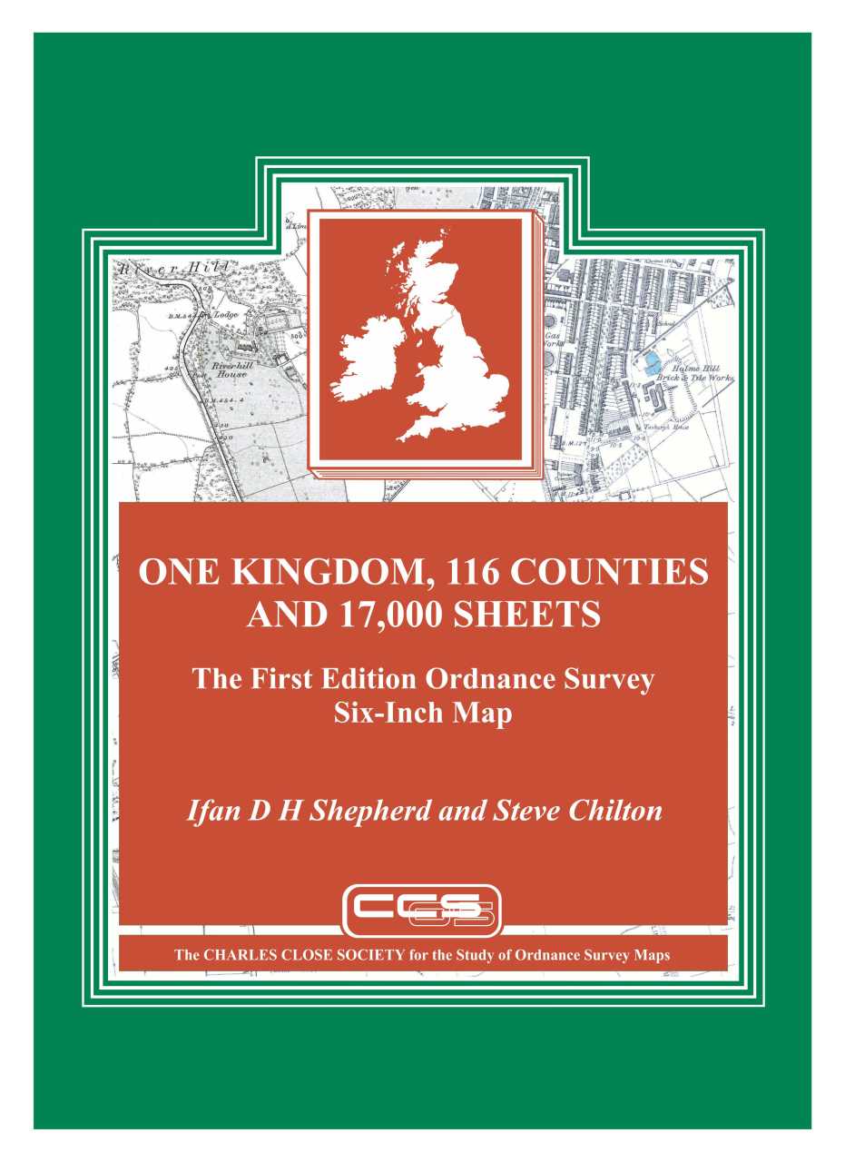 ONE KINGDOM, 116 COUNTIES AND 17,000 SHEETS. The First Edition Ordnance Survey Six-Inch Map by Ifan D.H. Shepherd and Steve Chilton.
The six-inch map of Ireland was a hugely ambitious project for the Ordnance Survey to undertake in 1824, and as work went on, so the project became yet more ambitious. What had started as the recording of basic topography for a one-inch map plus some administrative boundaries, estimated to take eight years, developed into a fully-fledged map of every detail that could be mapped within the limitations of scale, which took over twenty years. Then, as completion of Ireland came into sight in 1840, the six-inch came to Great Britain. The ‘first edition’ six-inch was eventually completed in the early 1890s, albeit in a form somewhat different from that of earlier years. It was the Ordnance Survey’s first excursion into what today would be called ‘big data’, and it remained the largest scale at which the whole of the British Isles would be mapped.
This is the first extended study of the six-inch, and has been over fifteen years in preparation. It is copiously illustrated.
The authors:
- Ifan Shepherd is Emeritus Professor of GeoBusiness at Middlesex University, London.
- Steve Chilton is former Educational Development Manager at Middlesex University, London.
448 pages, plus 16 pages of colour plates, A4 size.
Price £45 or £40 for members, which includes UK postage & packing.
International purchases will include additional associated postage & packing.
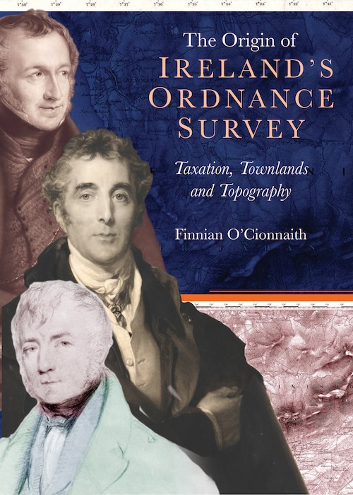 THE ORIGIN OF IRELAND'S ORDNANCE SURVEY by Finnian O'Cionnaith.
Finnian O’Cionnaith’s The Origin of Ireland’s Ordnance Survey: taxation, townlands and topography, was published in June 2024.
This remarkable new book will bring to life the fascinating primordial days of the Ordnance Survey of Ireland. In doing so, it will delve into the politics, technical logic and complex post-Union social issues that shaped the survey. Finnian is a terrific writer and he has put together a text that will be or huge interest to all those interested in local history, social history, cartography and it should have a very strong appeal to all those with an interest in the study.
Since 1824, the Ordnance Survey (Tailte Éireann and OSNI, respectively) has become the essence of cartographic accuracy in Ireland, documenting the ever-changing relationship between people and the environment. Though it has left a detailed and invaluable historical record in its wake, the story of its foundation is, however, less well-known. This book brings to life the fascinating primordial days of the Ordnance Survey of Ireland. In doing so, it delves into the politics, technical logic and complex post-Union social issues that shaped the survey. Initially called upon to aid land-based tax reform, its specifics soon became a source of disagreement between Irish MPs and the imposing figure of Arthur Wellesley, the Duke of Wellington. In finding the survey’s most suitable path, the island's colourful and often painful history with mapping was exposed, and a new course was set for its cartographic future.
Finnian O'Cionnaith is a qualified land surveyor with a strong interest in the early history of the profession. He completed his PhD in History at Maynooth University in 2011 and has written several books on the history of land measurement in early-modern Ireland.
Price £35 or £30 for members Proceed
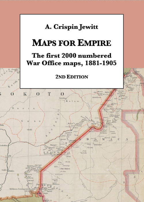 MAPS FOR EMPIRE by A. Crispin Jewitt, 2nd edition.
The first edition of this book was published (by the British Library) in 1992. It describes the first 2000 sequentially numbered maps or map series issued successively by the Intelligence Division, War Office (IDWO), the Topographical Section, General Staff (TSGS) and the Geographical Section, General Staff (GSGS).
Since the first edition was published considerable fresh information has become available, including material for which only vestigial information was previously known. An additional dimension is supplied by the plates being now in colour.
Nineteenth-century British military mapping is not particularly well documented, and this book is more than a detailed listing of the maps first issued between 1881 and 1905: it is a substitute for a narrative history. Here are exposed not only the details of individual maps, but an indication of both changing and continued preoccupations: many maps were only produced in a single edition or version to meet a short-term need, whereas others had a long history, stretching into the mid twentieth century. The book complements the author’s Intelligence revealed: maps, plans and views at Horse Guards and the War Office 1800-1880, published in 2011.
The original book was ground-breaking, and has proved indispensable to collectors, librarians and historians of cartography.
572 pages, plus 16 pages of colour plates, B5 size.
Price £45 or £40 for members Proceed
 ORDNANCE SURVEY SMALL SCALE MAPS by Roger Hellyer & Richard Oliver, The Charles Close Society, 2023,
This is the book that collectors, librarians and map historians have waited decades for: at last they can learn the full and singular stories of the Ordnance Survey’s quarter-inch and half-inch map families, and place their collections in context in the extensive cartobibliographies. The quarter-inch can trace its origins to the early 1830s, and a national series was begun in 1859, which wasn’t completed until 1892. Why? The answer is here! Then in the twentieth century the quarter-inch was repeatedly redrawn and republished, and was adapted for military and aviation use: a ‘small-scale’ led to a huge number of versions. Here is told the tangled story of how eventually there was just one version, the Road Map still on sale. The half-inch was begun in 1902 at military behest, and in its early years changed its style about once every two years, creating a great variety of sheets and styles. Then the military lost interest, the half-inch began to look a little tired, and in the late 1930s renewal began, with a striking map of Greater London. But then war and other priorities meant that ‘the new half-inch’ amounted to a few scattered sheets, before it was abandoned. Here is told the convoluted story of how this ‘new half-inch’ of Great Britain never really made it – and how the ‘old half-inch’ of Ireland was for a while the standard topographic map of the country.
438 pages (plus preliminaries) and 32 pages of colour plates
Price £45 or £40 for members Proceed
 ORDNANCE SURVEY INTERMEDIATE SCALE MAPS by Roger Hellyer & Richard Oliver, The Charles Close Society, 2022, ISBN 9781870598347
The authors are well-known for their exhaustive studies of Ordnance Survey map series, and this is the long-awaited sequel to that of the 1:25,000 First Series, published in 2003. It describes and lists in detail:
- The 2½-inch ‘Map of East Anglia’
- The 1:20,000 artillery training map family, GSGS 2748 The military 1:25,000 of Great Britain and Ireland, GSGS 3906
- The 1:25,000 Second Series family:
- Pathfinders, Outdoor Leisure Maps, Explorers
- 1:20,000 and 1:25,000 maps of Ireland
438 pages (plus preliminaries) and 32 pages of colour plates This book has been over twenty years in the making, and will be the definitive account.
Price £45 or £40 for members Proceed
 THE FIRST ORDNANCE SURVEY MAP: A history and cartobibliography of the one-inch Old Series of England and Wales, Roger Hellyer and Richard Oliver, The Charles Close Society 2015, pp x, 421, illus., maps, hardback, ISBN 9781870598330
This book is the outcome of many years study of what for many was for long ‘the Ordnance map’. It includes a 95,000-word historical account of the development of the maps by Richard Oliver, and a 265-page cartobibliography by Roger Hellyer that has drawn on the libraries of three continents. There is a foreword by Yolande Hodson. It complements the same authors’ One-inch engraved maps of the Ordnance Survey from 1847 (2009). The story of the Old Series is in many ways also the story of the first half-century or so of the Ordnance Survey. The first sheets that were completely independent Ordnance survey productions were only published in 1805, though they incorporate field survey work going back to the 1780s. The last sheets of the ‘true Old Series’ were published in 1844; all the sheets remained in print, with various amounts of updating, until 1903. The introductory essay covers the survey of the mapping, and describes influences on its development and, ultimately, its demise. The cartobibliography disentangles the often complicated plate-history for each sheet. The book includes index diagrams, a list of map collections, chronology, bibliography and a comprehensive index to the essay, as well as numerous illustrations of details on the maps themselves. This book is an essential purchase for all map librarians, serious students and collectors of Ordnance Survey maps.
** Special Offer ** Price £35 or £28 for members Proceed
 THE ORDNANCE SURVEY IN THE NINETEENTH CENTURY Maps, money and the growth of Government, Richard Oliver, The Charles Close Society 2014, pp xxvii, 607, illus., maps, hardback, ISBN 9781870598323
The Ordnance Survey is sometimes spoken of as the producer of 'the best maps in the world'. This had to start somewhere, and this book tells the story of the OS from its origins in the late eighteenth century to the completion in 1914 of the survey of the British Isles at 1:2500 scale. There have been several histories of the Ordnance Survey: this one differs from all the others in that it wades into politics as well as maps in order to tell the story of the inception of the organisation, the 'Battle of the Scales' and how the OS became an essential part of the nation's infrastructure. Based on the author's doctoral thesis and many years' further research, this approachable but authoritative account includes reference to unpublished, and many hitherto unexplored, papers in The National Archives.
** Special Offer ** Price £30 or £25 for members Proceed
 Ordnance Survey maps: a concise guide for historians: Third Edition, revised, corrected and expanded, Richard Oliver The Charles Close Society 2013, pp 320, illus., hardback, ISBN 9781870598316 The Third Edition of this established and essential handbook for users of ‘non-current’ Ordnance Survey mapping is now available This fully revised and updated edition, published October 2013,includes a greatly expanded list of towns with their mapping dates, improved data on the early 1:2500 mapping of counties, and further minutiae on ‘points of detail’, as well as an updated bibliography. Summary of chapters: 1 The development of the Ordnance Survey 2 Ordnance Survey maps as historical sources: some general points 3 Scales and characteristics of Ordnance Survey maps 4 Some Ordnance Survey definitions and terminology 5 Notes on the depiction of detail 6 Ordnance Survey mapping of towns 7 Ordnance Survey mapping of counties 8 Abbreviations used on Ordnance Survey maps 9 Select bibliography
Price £20 or £15 for members Proceed
 Mapping the windmill: the Ordnance Survey in England, Bill Bignell, 2013, pp xii, 307, illus., maps, hardback, £20.00 ISBN 9781870598293
The book covers the whole two hundred years and more of windmills on published OS maps, in dazzling detail. The illustrations dazzle too: there are 16 pages of plates, of both maps and mills, and many more illustrations in the text. Some of these illustrations do things with OS maps that have never been done before. Even those for whom hitherto windmills have been just another type of building will find here an absorbing study of quirkiness, inconsistency and shades of meaning that few can have expected. Though it is widely accepted nowadays that maps are not just maps, Mapping the Windmill breaks new ground in treating a facet of map depiction in minute detail. It is worth the attention of anyone who is interested in maps.
** Special Offer ** Price £15 or £12 for members Proceed
 Old Series to Explorer A field guide to the Ordnance map, Chris Higley, 2011, pp vi, 154, with 42 pages in colour, 179x249 mm paperback, ISBN 9781870598309
Described as a ‘field guide’, the book is intended to help readers identify and put into context any sheets that they may come across. Colour has been used liberally to illustrate both the maps and their covers. There is also a complete set of index diagrams for each series, together with enough about the history and processes of the Ordnance Survey to understand why their maps looked as they did. Finally, there are chapters on ‘mapmakers at war’ and on collecting maps.
Price £10 or £8 for members Proceed

One-inch engraved maps of the Ordnance Survey from 1847, Roger Hellyer and Richard Oliver, The Charles Close Society, 2009. 714 + vi pages, A4 hardback. ISBN 9781870598279
In choosing the starting date of 1847 for this wide-ranging work, the authors cover the full history of the one-inch engraved map in Scotland and Ireland, while in England and Wales, where publication of the Old Series had been in progress since 1805, Old Series sheets 91 to 110 are included. These latter sheets, north of the ‘Preston to Hull line’, differ from those published earlier, being demonstrably on Cassini’s Projection on the origin of Delamere and based on survey at six-inch or larger scales. Their quarter sheets form the basis of the system of regular sheet lines that would be extended south to cover all of England and Wales as the Old Series was superseded by what became known as the New Series. The book charts the long history of the subsequent editions of the engraved map, culminating in the last sheets in Ireland going out of print in 1999. The authors are two of the leading experts in the field and this newly published work is the product of many years of painstaking research. It follows the pattern of their other joint monographs. First we have a substantial 106 page ‘essay’ from Dr Oliver, giving not only an indepth history of the map including its conception, birth, youth and maturity, but also an extensive chapter on the map content, covering both marginalia and also the interpretation of the map itself and the instructions given to the surveyors and draughtsmen. Dr Hellyer then takes over and provides a comprehensive cartobibliography of every known state of each sheet of each edition of the map based on meticulous examination of collections ranging geographically from the University of British Columbia to the Royal Library in Copenhagen. A particularly strong feature of the cartobibliography is the information on railway alterations and other detailed changes to the face of the map. This should allow the exact identification of the many sheets which are encountered with their margins trimmed. The book is completed with a section of index diagrams for each edition, a gazetteer of map collections, chronology, bibliography and a comprehensive index to the essay. No map librarian, serious student or collector of Ordnance Survey maps, can afford to be without this major new work.
** Special Offer ** Price £40 or £30 for members Proceed
 Projections and Origins, collected writings of Brian Adams, Edited by Roger Hellyer and Chris Higley. A5 format softback, perfect binding, iv + 116 pages, including four pages of illustrations. ISBN 9781870598262
Brian Adams was a unique man with unique knowledge. Most of the standard references for the projections, construction data and, in many cases, the sheet lines of nineteenth and early twentieth century Ordnance maps are to Brian's articles scattered through the Sheetlines of fifteen or more years ago. For further information you have to hunt through his contributions to the forwards and appendices to several of the Society's books, as well as two others by David Archer. Roger Hellyer has now had the opportunity to go through Brian's papers and has discovered further, unpublished, data on similar subjects. To preserve all this information in one easily accessible source, and also as a tribute to a distinguished and much loved Honorary Member of the society, we have produced this book.
Price £10 or £7.50 for members Proceed
 A guide to the Ordnance Survey one-inch Seventh Series, Richard Oliver, 68pp, A5, softback, ISBN 9781870598231
The Seventh Series was the final stage in the development of the Ordnance Survey one inch to one mile (1:63,360) map before its replacement in 1974-6 by the 1:50,000 scale, and was the only completed uniform, or nearly uniform, map series to cover Great Britain at this scale. Though initially published between 1952 and 1961, its origins really lay in the 1920s, and in the desire to replace engraving and lithography by photo-mechanical methods for the production of the one-inch map. This booklet, orginally published in 1986, describes the origins and development of the Seventh Series and provides comprehensive sheet listings of its various editions and versions, together with the tourist maps derived from it. The present edition improves on its predecessors by correcting a few minor mistakes, adding some further details to the introductory essay, and adding a new section on changes to the design and specification of the maps.
Price £5 Proceed
 Military maps: the one-inch series of Great Britain and Ireland, Roger Hellyer and Richard Oliver, 294 + x pages, including 16 colour plates, hardback, A4. ISBN 9781870598224
Military maps contains listings by Roger Hellyer of all the gridded one-inch military map series of England and Wales, Scotland and Ireland, and, since the second world war, Great Britain and Northern Ireland. It is organised in two completely separate sections, the first describing those series carrying the War Office Cassini Grid, the second those carrying the National Grids of Great Britain and Ireland. There is a special section describing the military mapping of London in each part of the book. Richard Oliver's essay unifies the whole, bringing us first to the point where in the 1920s the War Office was provided with its own separate set of plates for the one-inch map. It then describes how civilian and military versions of the map diverge, reaching perhaps their widest point of separation in War Revision, then Second War Revision, then gradually come together again as National Grid one-inch mapping develops, finally to reunite in the present 1:50,000 Landranger. The history of one-inch military mapping in Ireland and later Northern Ireland is similarly described. The book is graphically illustrated by sixteen colour plates, eight monochrome plates, and seven index diagrams designed by Chris Higley. It has appendices including previously unpublished tables showing editions of GSGS 3907 and 3908, also sales copies, civilian printers and military printing units. This is supplemented by a concordance of military map numbers, a chronology, a bibliography and a diagram briefly showing the organisation of Military Survey, its predecessors and its successors, from 1791 to the present day.
** Special Offer ** Price £15 or £12 for members Proceed
 A Guide to the Ordnance Survey one-inch Third Edition maps, in colour England and Wales, Scotland, Ireland. by Roger Hellyer and Richard Oliver, A4, hardbound, 168 pages, 8 colour and 12 black and white plates, ISBN 9781870598217
This book contains a detailed history and description of these maps by Richard Oliver. It builds on the original monographs by the late Guy Mesenger, and includes much new information, both historical and cartobibliographical. Roger Hellyers meticulous cartobibliography covers all the third edition coloured maps series.
Price £12.50 or £10 for members Proceed
 A Guide to the Ordnance Survey 1:25,000 First Series, Roger Hellyer, 2003, 334pp, A4, softback ISBN 9781870598200
Price £25 or £20 for members Proceed
 Popular Maps. The Ordnance Survey Popular Edition One Inch Map of England and Wales 1919-1926, Yolande Hodson. 411 pages, B5, 46 illustrations, 13 colour plates, hardback. ISBN 9781870598156
This book tells the story of the Popular Edition one-inch map of England and Wales from sheet line construction to shop counter, and sets the development of the map within the context of the evolution of the one-inch series from 1801 to the 1930's. This book is the first Charles Close Society publication illustrated with a range of colour plates. It also includes a full catalogue of all known printings of the 146 sheets of the map. Dr Yolande Hodson is a founder member of the Charles Close Society and was for some time Chairman. She was formerly employed by Military Survey and then in the Map Room of the British Museum (now the Map Library, British Library), and has been Historical Consultant to Ordnance Survey and Military Survey.
** Special Offer ** Price £20 or £15 for members Proceed
 The Revised New Series colour printed one-inch map of England and Wales 1897-1914, by Dr Tim Nicholson. 95 pages, B5 27 black and white figures, colour plates softback, ISBN 9781870598194
Tim Nicholson has written a comprehensive study of this important series which changed the image of Ordnance Survey maps. The public were offered for the first time a map printed in up to five colours, folded in covers to fit in a pocket. The origins and impact of the new map are treated exhaustively in part one The Story of the Map. The second part reviews all Aspects of the map series and third part contains a listing of all known Map States. An essential source book for a neglected map series of considerable significance in the development of modern mapping in Britain.
Price £9 or £7.50 for members Proceed
 A Guide to the Ordnance Survey One-Inch Fifth Edition, by Richard Oliver, 2000, 48pp, A5 Softback, ISBN 9781870598170
This is an updated version of a booklet first issued in 1987. It includes much new and hitherto unpublished material, particularly about the origins and development of the Fifth (Relief) Edition. It includes a more accurate and complete description of the map's production methods and a more complete listing of the maps.
Price £5 Proceed
 A Guide to the Ordnance Survey One-Inch Popular Edition of Scotland, by Richard Oliver, 2000, 44pp, A5, softback, ISBN 9781870598163
This is an updated version of a booklet produced in a very limited print run in 1990. It includes a far more complete list of printings of the maps, and a comprehensive introductory essay which describes the development of the mapping, most of it covering ground not covered at all in print hitherto.
Price £5 Proceed
 A Guide to the Ordnance Survey One-Inch New Popular Edition, by Richard Oliver, 2000, 60pp, A5, softback, ISBN 9781870598187
This is also an updated version of a booklet first published in 1987 The layout is more spacious, easier to use and includes a more complete list of printings. The introductory essay includes a new section discussing some aspects of the Popular-style (Wales and northern) sheets and takes account of further unpublished OS materia.
Price £5 Proceed
 The "Ten Mile" maps of the Ordnance Surveys by Roger Hellyer, 212pp, A4, softback, ISBN 978 1 870598 12 5
"The result is truly encyclopaedic. ... much material for the railway historian." -John Loxton, Cartographic Journal, 1994 "The definitive text on this complex subject including much valuable information on Irish OS involvement. Tremendous value."
** Special Offer ** Price £10 or £8 for members Proceed