 Zoom Meeting #36, 8th December 2025.
Mapping Local London – London’s Parish Maps to 1900.
- Presenter: Simon Morris
- Format: Structured talk, followed by questions & answers
- Attendees: 33
- View the recording here, streaming length: 1h 06m
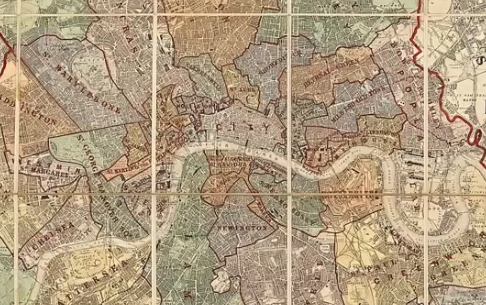
Based on the work that went into producing the London Topographical Society’s “London Parish Maps to 1900” (2020), Simon Morris reviewed this distinct typology and, drawing on a wide range of examples, examined who commissioned the maps, who made them and how they were marketed.
By examining the information they convey Simon argued that, as well as demonstrating parochial pride and loyalty, these maps shed valuable light on the development of municipal services in Georgian and Victorian London.
 Zoom Meeting #35, 17th November 2025. 'The CCS Tribute to Rail 200'.
- Presenter: Stuart Dennison
- Format: Structured talk, followed by questions & answers
- Attendees: 50+
- View the recording here, streaming length: 1h 26m
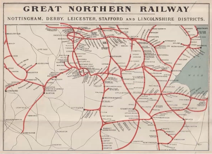
A zoom presentation by Stuart Dennison paying tribute to railway mapping over the past 200 years with a journey covering a wide range of maps and plans of lines in England and Wales.
Commencing with a trio from the 1830s and working through a selection including railway estate plans, parliamentary plans, timetable maps, Ordnance Survey maps, London Underground from classic designs contrasting to the present offering and one or two surprises perhaps.
Zoom Meeting #34, 16th April 2025. 'Land Valuation Mapping of 1911-12: A Wasted Year?'
- Presenter: Dr. Rob Wheeler
- Format: Structured talk, followed by questions & answers
- Attendees: 30
- View the recording here, streaming length: 55m
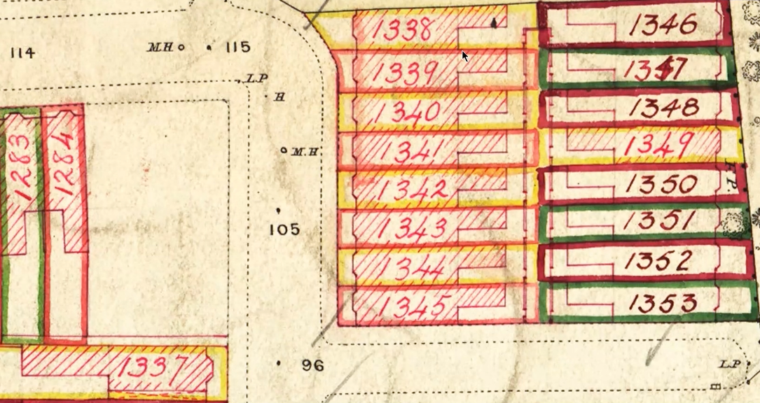
Following the introduction in Lloyd George's budget of 1909 of a duty on the increase in the value of land, a Valuation Office was set up to establish a baseline for values, and almost all OS effort was diverted to supporting this. The maps that resulted are little known and are not easy to use.
This talk describes what was done for the Lincoln local office and broadly how it fitted in with what was going on elsewhere.
 Zoom Meeting #33, 25th March 2025. 'Railway Maps Show-and-Tell.'
- Presenter: Stuart Dennison
- Format: Structured talk, followed by questions & answers
- Attendees: 43
- View the recording here, streaming length: 1h 39m
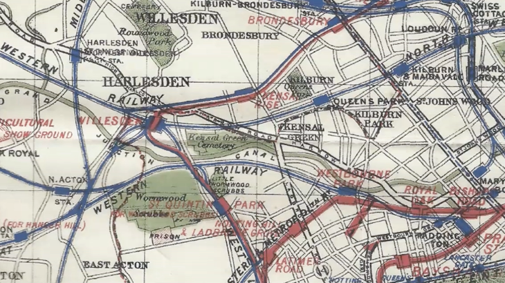
Carrying on with our transport maps theme, Stuart Dennison hosted a Zoom meeting featuring maps that are railway-related.
The maps shown cover the Ordnance Survey's, other mapping companies' offerings over a broad period of time. There are examples of broad, standard and narrow gauge railways. Gives a fair bit of scope to cover!
Zoom Meeting #32, 25th February 2025. 'Shell Road Maps.'
- Presenter: Dr. Ian Byrne
- Format: Structured talk, followed by questions & answers
- Attendees: 39
- View the recording here, streaming length: 1h 17m
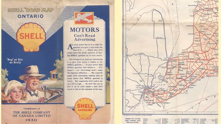
Dr Ian Byrne presented a talk followed by a Q&A session entitled "Wherever you go, you can be sure of a Shell map".
Shell's operating companies sold or gave away branded maps at service stations in over 75 countries, starting on the West Coast of the USA in the 1920s, and covering much of Europe, including the UK, and Australasia by 1939. In the 1950s & 1960s their global reach reached its peak with attractively designed, low-cost maps that were also available through its touring service. Small numbers of Shell maps continued to be sold at late as 2020.
With around 2,200 Shell maps in his collection, Ian has sufficient to keep the talk lively and of general interest!

