
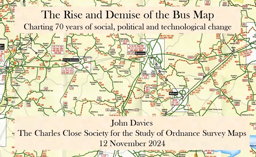
 Zoom Meeting #31, 12th November 2024. 'The Rise and Demise of the Bus Map: Charting 70 years of social, political and technological change.'
- Presenter: John Davies
- Format: Structured talk, followed by questions & answers
- Attendees: 55
- View the recording here, streaming length: 1h 33m
Designing a bus map presents a particular challenge: how to convey the complexities of frequency, stopping patterns and route variations of the network in an easily-understood and attractive format to promote to potential passengers the travel opportunities available.
Over the past 70 years, from the peak of bus usage of the 1950s (fewer cars, little in-home entertainment) to the 2020s (Covid and ‘it’s all online’), the bus industry has been hugely affected by political decisions (such as deregulation and privatisation) and declining patronage.
In this talk we looked at how bus operators and local authorities throughout mainland Britain, outside London, have responded, showing the many and varied ways of dealing with these challenges.
 Zoom Meeting #30, 8th October 2024. 'The Ordnance Survey County Survey and the Historical Boundaries of Wales.'
- Presenter: Scott Lloyd
- Format: Structured talk, followed by questions & answers
- View the recording here, streaming length: 1h 24m
The administrative boundaries depicted on the first edition county survey mapping undertaken by Ordnance Survey were the result of detailed investigations in the field. This talk explored the process of how the boundaries were recorded what type of boundaries were printed on the maps and how the OS changed its policy during the survey of Wales. Some of the earlier mapping that informed the OS is discussed and the digital outputs of this research are demonstrated.
Scott Lloyd is the Research Manager at the Royal Commission on the Ancient and Historical Monuments of Wales and is currently recreating the historic administrative boundaries of Wales and working on a digital Historical Atlas of Wales. He has worked on the AHRC Funded Deep Mapping Estate Archives project which won the 2022 BCS Ordnance Survey Award and is currently involved with the Mapping the March project with Bristol University which will produce detailed maps of the medieval Marcher Lordships. He is also author of The Arthurian Place Names of Wales, published by the University of Wales Press in 2017.
 Zoom Meeting #29, 17th September 2024. 'Scottish Ordnance Survey Name Books (OSNBs).'
- Presenter: Nevis Hulme
- Format: Structured talk, followed by questions & answers
- View the recording here, streaming length: 1h 12m
This talk gave a brief overview of how the OSNBs are presented online followed by an examination of methods used to record names. This will include a look at the varied layout of OSNBs, the paper forms used by the OS for this work and how people of the areas being surveyed contributed to the collection of names. This could probably be the most detailed examination of the structure of OSNBs given to date.
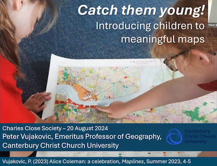 Zoom Meeting #28, 20th August 2024. 'Catch Them Young! Introducing children to meaningful mapwork.'
- Presenter: Peter Vujakovič
- Format: Structured talk, followed by questions & answers
- View the recording here, streaming length: 1h 20m
This talk discusses recent work in partnership with the Historic Towns Trust, the British Cartographic Society, and Canterbury Christ Church University to support teachers in the developing meaningful map and fieldwork for history and geography at Primary level, using OS maps, both contemporary and historical, as well as other maps sources and remote sensing imagery.
Peter Vujakovič is Emeritus Professor of Geography, Canterbury Christ Church University. He is editor of 'Maplines', the magazine of the British Cartographic Society (BCS) and a member of Commissions on Education & Training, Cartography & Children and History of Cartography for the International Cartographic Association (ICA).
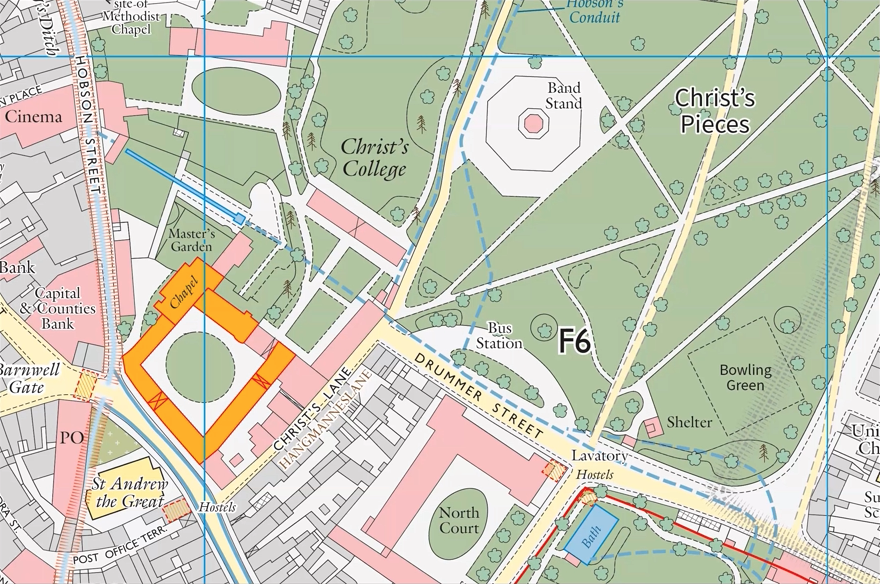
Zoom Meeting #27, 16th July 2024. 'Turning an OS into history, publishing a Town & City Historical Map'
- Presenter: Giles Darkes
- Format: Structured talk, followed by questions & answers
- Attendees: 49
- View the recording here, streaming length: 1h 17m
Giles Darkes is the Cartographic Editor for the Historic Towns Trust (HTT) and manages their mapping and atlas projects. He was formerly Senior Lecturer in Cartography at Oxford Brookes University.
The Historic Towns Trust has for some years been producing and publishing 1:2500 historical maps in their Town & City Historical Maps series which aim to summarise a town's growth on a map. They show the sites of historical importance, both surviving and vanished and they're accompanied by an explanatory text and illustrations.
At the heart of them is a digitised OS map and, in this talk, Giles looks at the process of taking the OS base map and transforming it into a coloured historical map. He used the HTT's Historical Map of Cambridge, launched in December 2023 as the main example, but touch on other mapping projects already published and in preparation.
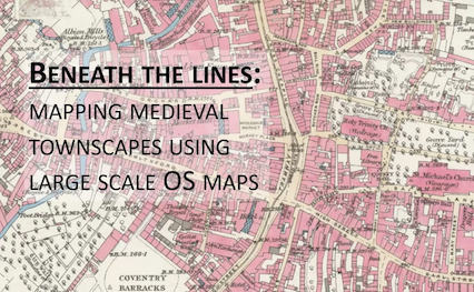
Zoom Meeting #26, 23rd April 2024. 'Beneath the lines: mapping medieval townscapes using large scale OS maps'
- Presenter: Keith Lilley
- Format: Structured talk, followed by questions & answers
- Attendees: 41
- View the recording here, streaming length: 1h 31m
What lies beneath the lines on the map? The larger scale OS maps of Great Britain and Ireland show features of the historic urban landscape in great detail.
In this talk, Keith Lilley explained the importance and significance of these cartographic features for mapping out the origins and evolution of our towns and cities. The lines on the map are a 'window' onto a much more distant medieval past, helping us to see how urban landscapes took shape on the ground so many centuries ago.
 Zoom Meeting #25, 23rd January 2024. 'The Ordnance surveys of Kent of 1788 and 1795'
- Presenter: Dr. Rob Wheeler
- Format: Structured talk, followed by questions & answers
- Attendees: 27
- View the recording here, streaming length: 1h 20m
Dr. Rob Wheeler presented what started off as a ramble through the OSDs but developed a focus on two rather beautiful maps of Kent, drawn at a time when the engraved one-inch was at most a bright idea that might or might not come to pass.
There will still be a few digressions en route, including what might be claimed as the earliest OS map that can be viewed online and an intriguing series of Specials that never happened.