
FORWARD to Foreign including DOS
Reference numbers in square brackets and artists' initials are explained here
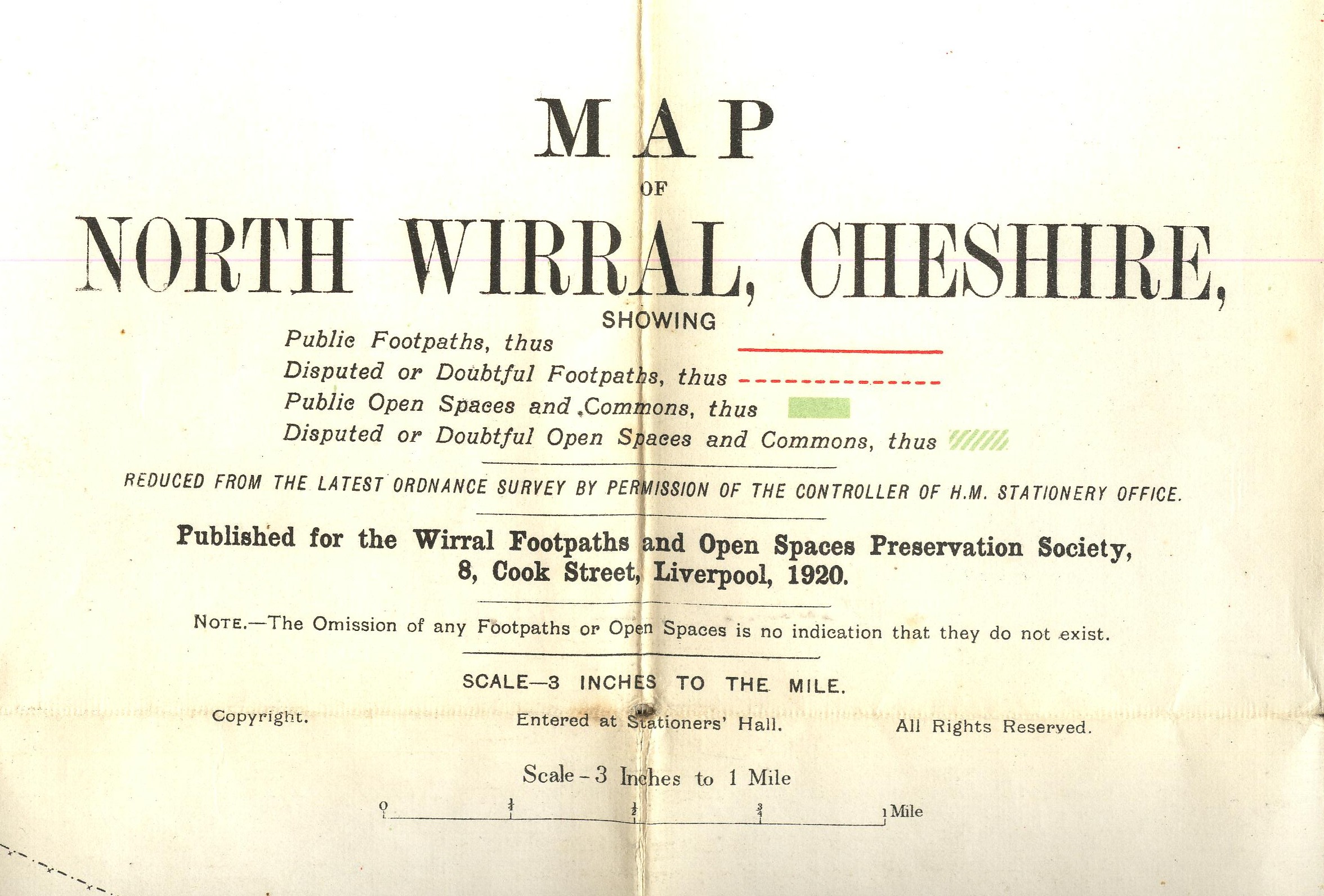
250 Wirral Footpaths. Maps were also produced for the society by other printers between certainly 1890 and 1947.
- [a] 102x178mm adhesive. 1920.
- [b] Title on map, see 8.1.a.3.
- [c] 98x178mm adhesive. 1920.
- [d] 1931. No details known.
- [e] 124x168mm adhesive. 500/35
. 


251 HMSO, Countryside Commission for Scotland. Illustrations by Bill Forbes.
251a
[a] Ben Lomond. 126x170mm 1980.
[b] Revised Edition June 1988.

251b
[a] Melrose Abbey. 133x226mm 1983.
[b] Eildon Hills. 133x226mm 1983.


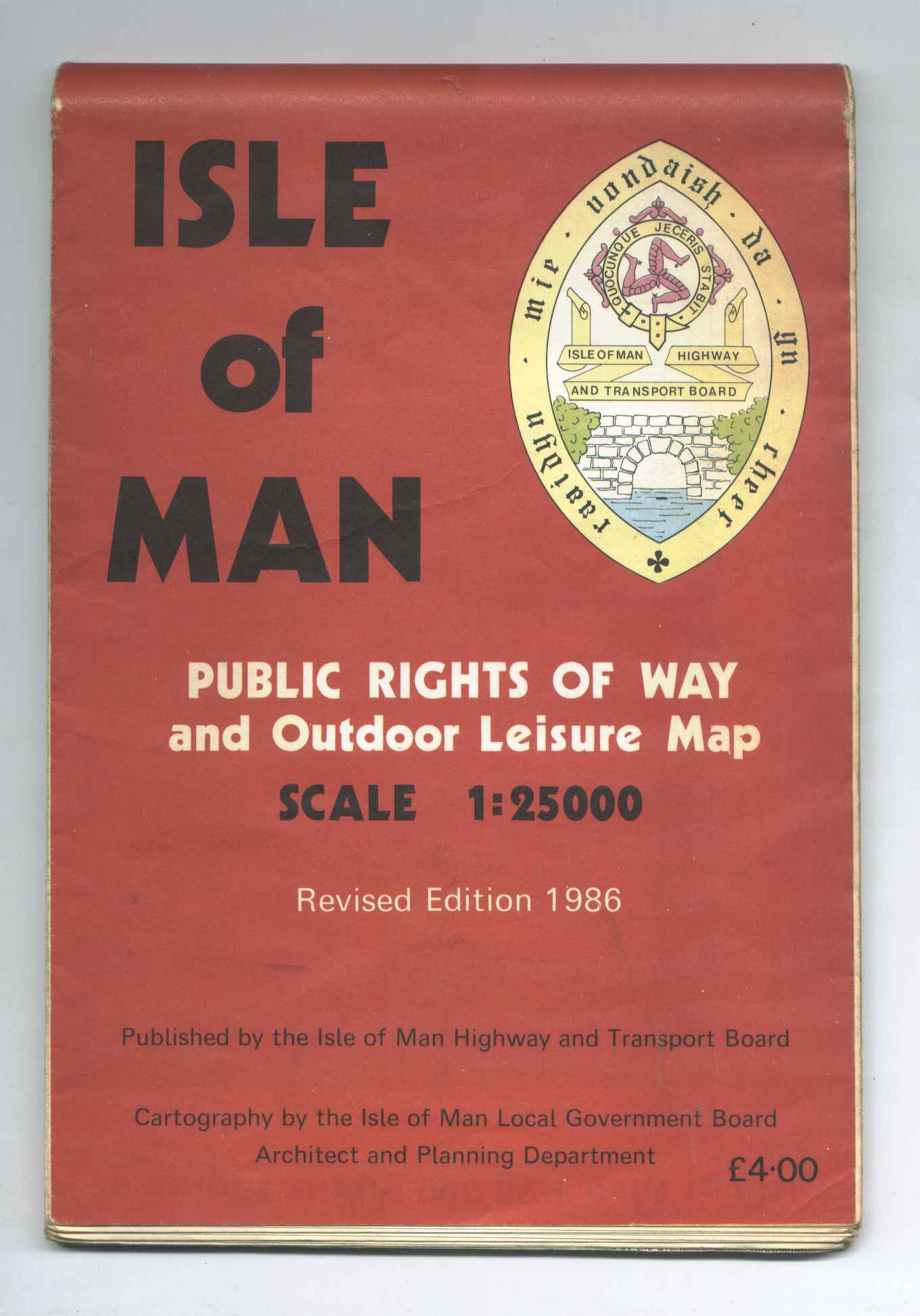
252 Isle of Man Highways and Transport Board.
252.1
150x218mm Direct. "Printed by the Ordnance Survey Southampton."
252.2
150x218mm Direct. "Base map compiled by the Ordnance Survey" The same design is used on the "Sixth Edition July 1993."

253 Potential Cycleroutes and Disused Railways. 1981.
167x239mm Direct.

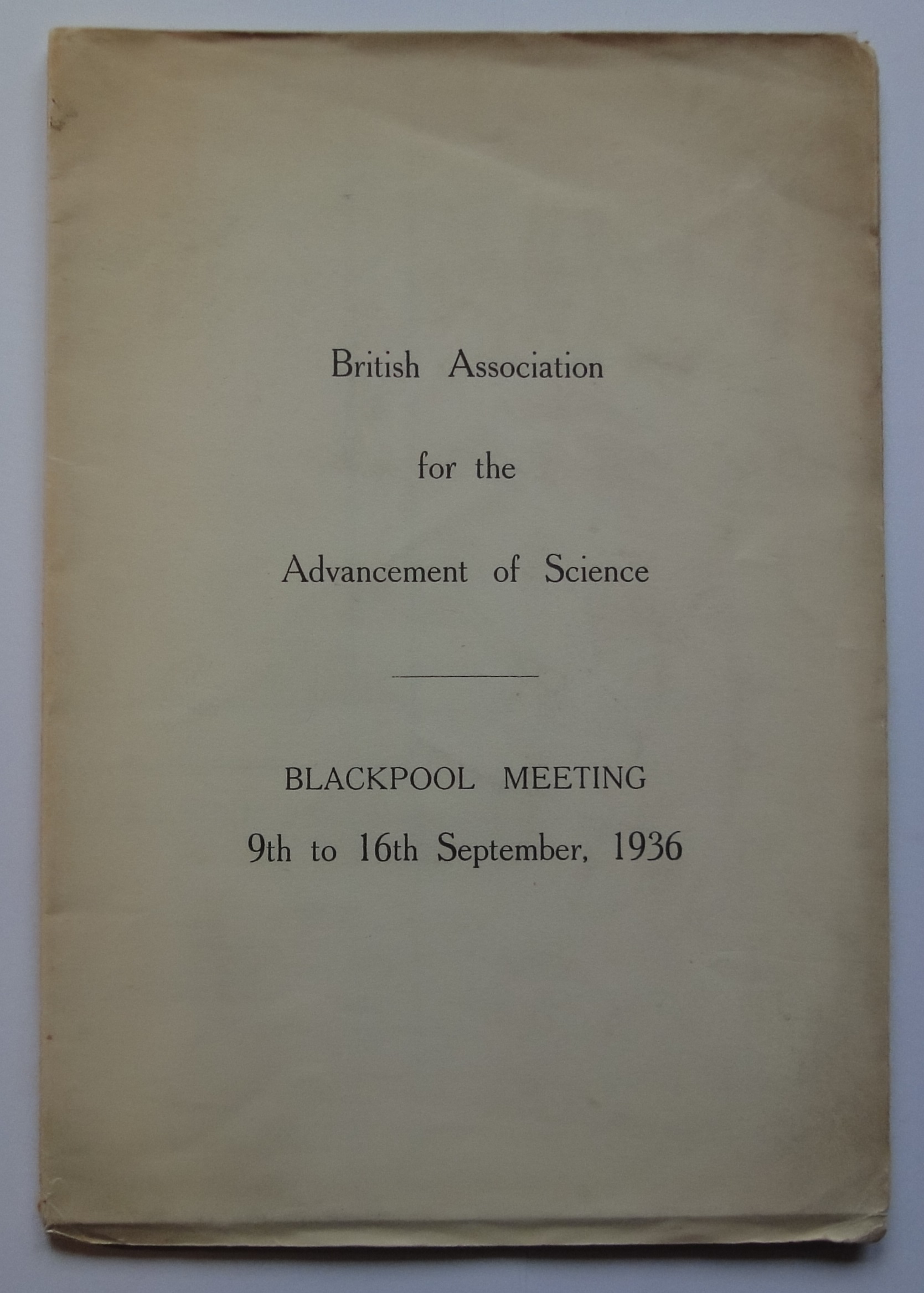
255 "British Association for the Advancement of Science" (now "The British Science Association") formed 1831.(see also 5. Repayment Maps [b])
- [a] 118x193mm bookfold. 1/4" First Edition mapping in colour.
- [b] 119x192mm bookfold. 1/4" First Edition mapping in colour.
- [c] 196x123mm envelope containing 1/2" SHEET 9 +[PART OF] SHEET 6.3000/27.& 1/4" Geological SHEET 7. 1907.
- [d] 194x124mm envelope containing 1/4"Third Edition 3500/28 & Geological 1"& Section 3000/28.


- [e] 102x178mm adhesive.3000/30. (see 80.1.)
- [f] 190x127mm envelope containing 6" 'MAP OF BRISTOL'3000/30.
- [g] 144x209mm envelope containing [h]
- [h] 1” LUS sheet 29 1500/36 (printed by Bacons). No added overprint.


256 Geology & Earth Sciences.


- [a] Slipcase for the two maps.
- [b] & [c] 127x212mm.


258 Cassini Publishing Ltd. 2008. (originally 'Timeline Maps Ltd.2005.) See Sheetlines 82 p22/24.
258.1 'Timeline Maps Ltd.
Photographic cover used on the first 40 maps produced from .2005

258.2 Cassini Publishing Ltd. 2006.
[a] Wine background "Old Series" 2007.
[b] Peacock background "RNS" 2007.
[c] Denim background "Popular" 2007


259 The Charles Close Society.
- [a] 1000/March 2008. The map is "fuzzy" and was rejected by the society the re-printed 1000/May 2008. was distributed to members. Both printed by OS.
- [b] 1000/March 2009. Using the 74. style cover. Printed by OS.
- [c] 1000/May 2010. The map had a faulty blue to the water features and was rejected, unfortunately this happened as OS were moving premises and the re-print 1000/November 2010. was printed by Butler, Tanner & Dennis.
- [d] 1000/March 2012. Using 99.2 style cover. Printed by BT&D.
- [e] 1000/March 2014. Using the cover illustrated at 5. Two and a half inch [a]. Printed by BT&D.
- [f] 1000/March 2016. Using unused design 205. Printed by Dennis Maps.


FORWARD to Foreign including DOS