FORWARD to Ordnance Survey House Style, 1968
Reference numbers in square brackets and artists' initials are explained here
First seen on the Ordnance Survey Publication Report of January 1963 was the new cover style designed for Ordnance Survey by Reeves, the consistent feature of which was Reynolds Stone’s coat of arms (either the Royal or the Scottish Arms) in the top left-hand corner of the map cover on an upright oblong, usually black, background. Covers were laminated as standard practice from late 1965. See No 183
108 Great Britain diagram, dated ?SPR 1:625,000 Route Planning Map 1964-1968. 1965-1966 covers with “Dayglo”
- [a] 127x213mm Un-laminated (Standard size) A
- [b] A also A/
- [c] Black title, Scottish arms B
- [d] B
- [e] Laminated C
- [f] C
- [g] D
- [h] D
- [i ]E
[j] E
109.1 Area diagram, blue/olive SPR Isles of Scilly [1:25,000 Provisional Edition], 1964 127x220mm Un-laminated. A 1964. 
109.2 Area diagram, blue/emerald SPR Isles of Scilly [1:25,000 Provisional Edition], 1966 [17] Laminated
110 Area diagram over red tartan SPR Cairngorms [One-inch Tourist Map], 1964 [11]
- [a] 127x213mm Un-laminated. A Also "PAPER 10/6 NET"
- [b] Laminated. A/ 196 Also 50p & "PAPER 10/6 NET"
111.1 Red Welsh dragon, grey SPR Wales and the Marches [Quarter-inch Fifth Series Special Sheet], 1965 [17] [11]
- [a] 127x213mm Un-laminated. B 1963
- [b] 126x212mm. Laminated. B 1963.
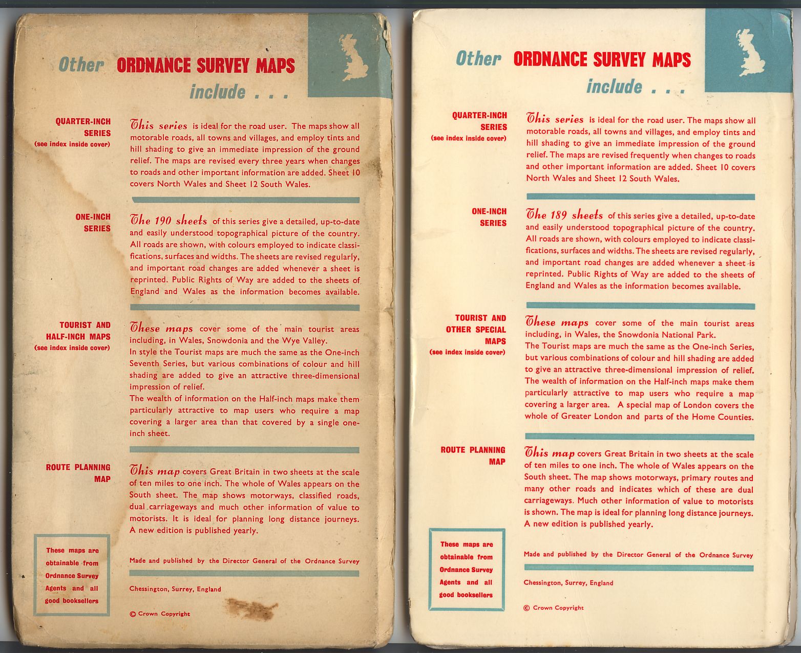
- [c] [d] Textual changes on back covers [a]left,[b]right.
111.2 Red Welsh dragon, green SPR Wales and the Marches [Quarter-inch Fifth Series Special Sheet], 1967 [17]
Laminated. B/* 1967 Note dual price, another copy has a circular adhesive label(8/-)obscuring the top of the price box, "NET" in place of "[40p]" and "PAPER" in red print(on the green giving an almost black appearence) under the box which has no white border.(As 111.1)
112 Seventeen location maps, blue SPR Quarter-inch Fifth Series, 1965 [17] [11] [5]
- [a] 127x195mm(Standard size)Un-laminated "PUBLISHED" bottom left. B
- [b] Laminated. "PUBLISHED" deleted. C/ 1967
- [c] Un-laminated "PUBLISHED" bottom left. Scottish royal arms. B
- [d] Laminated. "PUBLISHED" deleted. B 1966
113.1 Magnifying glass, blue ?SPR 1:25,000 First Series, 1965 [17] [11] . The fictitious map is at SX 8261
The map edition codes and dates have no relevance to the dates of the covers.
- [a] 127x226mm Un-laminated.(Standard size) C 1963
- [b] Laminated. B/ 1958
- [c] Index note deleted. Index on back cover replaced by details of other publications. B/ 1958
- [d] Price rise. Index and note restored. B 1953
- [e] Dual price.Index note deleted. C 1954
- [f] Un-laminated. Scottish arms. Place names on sketch changed. B// 1960
- [g] Laminated. Index note deleted. Index on back cover replaced by details of other publications. B/* 1968
113.2 Magnifying glass, green ?SPR 1:25,000 Second Series, 1965 [11] . The fictitious map is at TQ 3715
- [a] Laminated. Pre-decimal price. A 1968
- [b] Dual price. A 1970
- [c] Un-laminated. Scottish arms. Place names on sketch changed. A 1965
114 Black college badges, blue SPR Cambridge [One-inch Tourist Map], 1965
- [a] 127x195mm Un-laminated. A
- [b] Laminated.
115 Area diagram, turquoise SPR Greater London [Half-inch District Map], 1965 [17] [11] ; cover title London and surrounding areas. “Published 1962” deleted from later covers
127x212mm Laminated A 1962
116 Black area diagram, red SPR New Forest [One-inch Tourist Map], 1966
- [a]127x212mm Laminated A 1966 Also PAPER 8/- NET
- [b]Decimal price (paper) A 1966


117 Red area diagram, grey SPR Lake District [One-inch tourist Map], 1966
127x212mm Laminated. C 1966 Also CLOTH 10/- NET
118 Area diagram, turquoise SPR Snowdonia National Park [Half-inch District Map/Half-inch map], 1966
- [a]127x212mm Laminated. "Half-inch District map". Pre decimal price to left. A 1966 Also "Half-inch map" A/ 1968 8/0,10/-,10/-[50p] and 50p to right. NET
- [b]Different shade of blue, "Half-inch map". Decimal price to right. A/ 1968 Also 50p
119 Island diagram, azure/blue SPR Guernsey [Three-inch map, with Universal Transverse Mercator Grid], 1966
126x193mm C 1966
120 Stippled area diagram, mauve SPR North York Moors [One-inch Tourist Map], 1966 126x212
Laminated B 1966 Also with PAPER over 8/- above NET & 10/- in price roundel
121 Trafalgar Square, St Paul’s Cathedral, red/blue/black SPR Greater London [One-inch Special Map], 1967 [8]
- [a] 126x233mm Laminated A 1967
- [b] A 1967
122 Rock formations, green SPR The Peak District [One-inch Tourist Map], 1967 [17]
126x211mm Laminated B 1963
123 Twelve panels, red/blue/black SPR Loch Lomond and the Trossachs [One-inch Tourist Map], 1967 [17]
Laminated B 1967 Also with black 8/- over white NET in price roundel.
124 Pony [Dartmoor logo], red SPR Dartmoor [One-inch Tourist Map], 1967
Laminated. A Also 10/- 50p & 55p

125 Antlers [Exmoor logo], grey SPR Exmoor [One-inch Tourist Map], 1967
- [a] Light blue ground. A [
- b] Darker blue
126 Scotland, black/olive/orange SPR Ben Nevis and Glen Coe [One-inch Tourist Map], 1968 [17]
- [a] Pre-decimal price. A//*
- [b] Decimal price. A//*
FORWARD to Ordnance Survey House Style, 1968


